

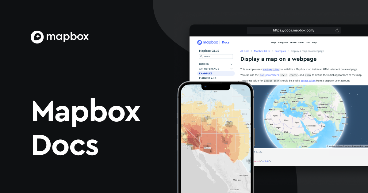
Do you know Mapbox? Mapbox is an online mapping service that is now used all over the world. Until now, Google Maps was often used when it came to online maps, but in recent years, Yahoo! JAPAN has also adopted it for map data, and it has become more common in Japan. Although online map services are not just maps, they are intended to be customized and provided, and are used by various industries and companies. What is Mapbox here? Starting with this, we will introduce in detail the services provided by Mapbox, its strengths, and its fee structure.
What is Mapbox?
Mapbox was founded in the United States in 2010 with the purpose of providing customized maps to non-profit customers. It was a start-up company that operated with its own funds for the first few years after its founding, using a garage in a back alley as its office. Current customers include well-known and well-known companies such as Facebook, Yahoo! JAPAN, Evernote, Snapchat, and the United Nations. Currently, we have offices in five major cities: Washington DC, San Francisco, Helsinki (Finland), Minsk (Belarus), and Tokyo, with a total of over 500 staff members. In development, over 175,000 developers work every month. Softbank announced a $164 million investment in the Softbank Vision Fund in 2017, entered the Japanese market in July 2019, teamed up with Softbank in March 2020, and began operating as Mapbox Japan. I am.
Around 700 million people around the world use maps provided by Mapbox every month. Approximately 500 million kilometers of roads are aggregated and processed every day, allowing users to continuously access up-to-date maps no matter where they are in the world. By using the latest maps, you can grasp accurate location information, making it possible to obtain accurate information such as weather, restaurant search, city exploration, etc.

Services provided by Mapbox

Maps
You can customize maps designed by Mapbox. You can choose from a variety of designs, including colors and terrain.
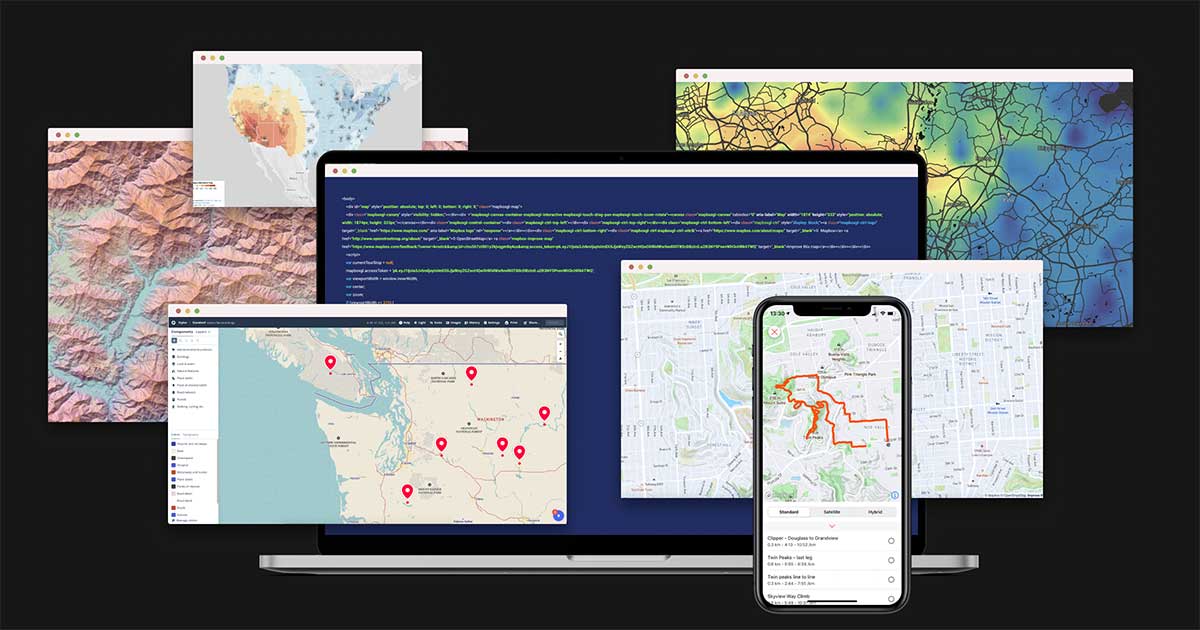
Mapbox Studio
Even if you are not a computer expert, you can easily create maps that match your company’s brand by adding fonts, icons, textures, and icons. You can also create original maps from scratch by adding 3D buildings and topographical data to the map.
It’s easy to change colors and fonts in minutes, and you can start using the map in your app or website. Data can also be imported using Mapbox Studio, and the data will be converted to vector tiles. Supported formats include Shapefiles, geoJSON files, and CSV files. Mapbox Studio includes a dataset editor for managing datasets, so you can also add points, lines, and polygon features through tools.

Mapbox Tiling Service (MTS)
Mapbox Tiling Service (MTS) makes data instantly available in multiple regions around the world. Data management is robust and backed up automatically and in a physically secure location, so you can use it with confidence, no matter the size or location. The main functions of MTS are the following five.
- tile set recipe
- User-specified feature ID
- Batch data upload
- Data reusable across tilesets
- multilayer tileset

Vision
This is a tool for developers to display navigation information overlaid on camera footage. This provides real-time visibility into road conditions and gives drivers access to more detailed and up-to-date traffic information. The shortest distance to a destination can be determined in real time, allowing drivers to drive more safely and efficiently.
To collect data, map image data is collected from sensors installed on roads and through satellite sensors. Until now, processing collected images required a lot of time and advanced processing technology, but the strength lies in the real-time data processing ability of distributed sensors. By using this, you can respond faster than ever before.
Mapbox advertising (β)
Mapbox provides an advertising platform. With the spread of smartphones, maps are now being used more than ever before. Location search and
navigation
have evolved into essential functions. Now you can serve location-based ads, allowing advertisers to reach potential customers and get better results.
Mapbox implementation results
.png)
automotive industry
It is used by over 700 million users every month, and the latest data is updated daily from the users’ devices. This makes it possible to provide accurate traffic data. Additionally, maps can be customized for the automotive industry, including design, software functions, and data. Approximately 14 billion updates are made per day, and the latest data is updated using AI and machine learning. This makes it possible to accurately predict the time required to reach a destination and guide drivers to the shortest route. You can also check road construction, road signs, and speed limits, providing safer driving.
logistics industry
By taking into account real-time traffic information and speed limits, it is possible to create and provide the most efficient route, reducing the burden on drivers and delivering packages using the shortest route. It can also be used for vehicle operation management. The vehicle’s location can be visualized on a map in real time, and the driver can be notified if the speed limit is exceeded.
government agency
Federal Communications Commission (FCC)
The U.S. Federal Communications Commission (FCC) committee uses Mapbox to visualize and check the status of internet connections in schools and libraries, and to submit future plans to Congress regarding the status of crackdowns on illegal radio stations. .
USAspending.gov
USAspending.gov provides citizens with searchable data on approximately $4 trillion in annual spending. By providing users with tools powered by Mapbox, we make it easier to access, navigate, and use data, increasing transparency in government spending.
US National Park Service
The U.S. National Park Service, which covers more than 84 million acres and manages more than 400 managed areas, uses Mapbox to educate visitors about America’s land and history. The agency has online web maps and dedicated mobile apps available for more than 19 national parks to help you plan your trip and explore further in your local area with guide features. is now possible.
outdoor fitness industry
Strava
Strava supports the growth of athletes by providing services that allow users to record their activities such as cycling and running, and explore new routes. By introducing the Mapbox Maps SDK and Mapbox Static Images API, we enabled trail names and smooth tracking using GPS, and created dynamic and static map styles full of originality.
All Trails
All Trails creates the world’s largest trail guide and provides a service that allows users to find the trails they want. All Trails can also be used offline, and also includes map and route search functions that will guide you to trailheads and record your hiking trails.
Recreation.gov
Recreation.gov powers Mapbox to provide a platform for users to discover, plan and book the outdoor experiences they are looking for. Trip Planner, a feature for users who want to plan long-term trips, uses Mapbox maps and Directions to plan travel plans with multiple destinations, display distances to destinations, and explore points of interest along the way. API is used.
ASICS Runkeeper™
ASICS Runkeeper™ is a service used by millions of users to explore new running routes by planning runs and recording GPS data. ASICS Runkeeper™’s custom map style allows you to see your running route and track elevation changes. Additionally, the web version of the interface uses custom icons to display mileage in an easy-to-understand manner.
drone industry
When using a drone, we clearly visualize areas where you should be cautious and areas where you cannot fly. Each airspace is color-coded and searchable, allowing users to quickly understand flight rules.
agricultural industry
Spensa
Using Mapbox, we provide a service that allows farmers to discover and deal with problems such as pests and diseases. Crop types, pest risks, and other important information for agriculture can be visualized by area, and local farmers can leave notes on the mobile map in real time.
OneSoil
Using AI to analyze 65 million farmland images across the U.S. and Europe, we help farmers make more informed business decisions. By using Mapbox GL JS, we are able to visualize a huge amount of data on a map, and also customize the data to display farmland size, crop type, and productivity in an easy-to-understand and easy-to-see format.
real estate industry
ApartmentList
By utilizing Mapbox, we provide a function that allows users to find the most suitable property when searching for a property. It displays vacant properties based on the user’s location information, and provides a map search function with property search as its main function.
House Canary
HouseCanary will be a platform for real estate investors, real estate appraisers, real estate agents, and lenders. We provide mobile/web and API products using Mapbox. HouseCanary uses Mapbox to provide real estate professionals with the ability to visualize vast amounts of residential real estate data in order to accurately understand and predict home values and market trends.

Mapbox usage fee
Usage fees vary depending on the plan. I would like to introduce some of them.
| Maps SDKs for Mobile | ||
| Charges are calculated based on the number of mobile app users within a monthly billing period. Each user has unlimited access to Vector Tiles API and Raster Tiles API requests. | Monthly active users | Converted in units of 1,000 users |
| ~25,000 | Available for free | |
| 25,001~125,000 | 440 yen | |
| 125,001~250,000 | 352 yen | |
| 250,001~1,250,000 | 264 yen | |
| 1,250,001~ | inquiry | |
*Maps SDK for iOS 5.0.0 or later or Maps SDK for Android 8.0.0 or later is required.
| Map Loads for Web | ||
| Map Load is charged each time Mapbox GL JS is initialized on a web page or web app. One map load includes unlimited Vector Tiles API and Raster Tiles API requests. (*One map load will keep the session for 12 hours.) | Monthly loads | Conversion in units of 1,000 items |
| ~50,000 | Available for free | |
| 50,001~100,000 | 550 yen | |
| 100,001~200,000 | 440 yen | |
| 200,001~1,000,000 | 330 yen | |
| 1,000,001~ | inquiry | |
*Mapbox GL JS v1.0.0 or later is required.
| Map sheets for web | ||
| Charges are calculated based on the number of users of your web application during a monthly billing period. Each user has unlimited access to Vector Tiles API and Raster Tiles API requests. (*Map Seats for Web is a service intended for use within organizations such as companies and government agencies.) | monthly sheet | Conversion by sheet |
| ~3 | Available for free | |
| 4~125 | 440 yen | |
| 126~250 | 352 yen | |
| 251~1,250 | 264 yen | |
| 1,251~ | inquiry | |
*Mapbox GL JS v1.0.0 or later is required.

summary
When you hear about online map services, you tend to think that they are just for checking location information and destinations, but now they are being used by well-known companies and industries such as Facebook, Yahoo! JAPAN, Evernote, Snapchat, and the United Nations. It is used in , and there are endless possibilities by customizing the map.
Currently, more than 700 million users around the world use the maps provided by Mapbox every month, and the map aggregates and processes approximately 500 million kilometers of roads every day. Currently, we have offices in five major cities: Washington DC, San Francisco, Helsinki (Finland), Minsk (Belarus), and Tokyo, with a total of over 500 staff members. In development, over 175,000 developers work every month. We entered the Japanese market in July 2019, teamed up with Softbank in March 2020, and are now operating as Mapbox Japan.
You can easily change colors, fonts, and add icons to match the image of each industry or company, and you can create original maps from scratch by adding 3D buildings and topographical data to the map. is possible. Online map services will continue to receive a lot of attention.